Account
Cart


Out Of Stock
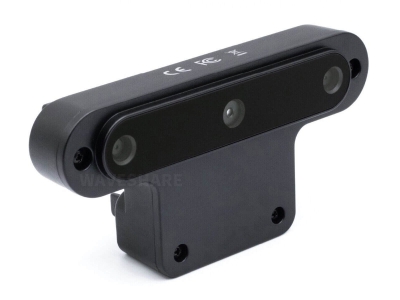
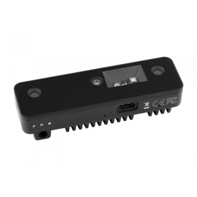
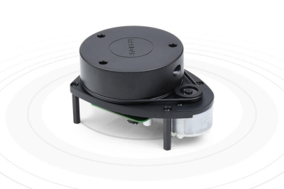
Notify me when its in stockThe RPLIDAR A1 can perform a 360-degree scan with a range of 12 meters. The generated 2D point cloud data can be used in mapping, localization, and object/environment modeling. The scanning frequency of RPLIDAR A1 reached 5.5Hz when 1450 points were sampled in each rotation. It can be configured to a maximum of 10Hz.
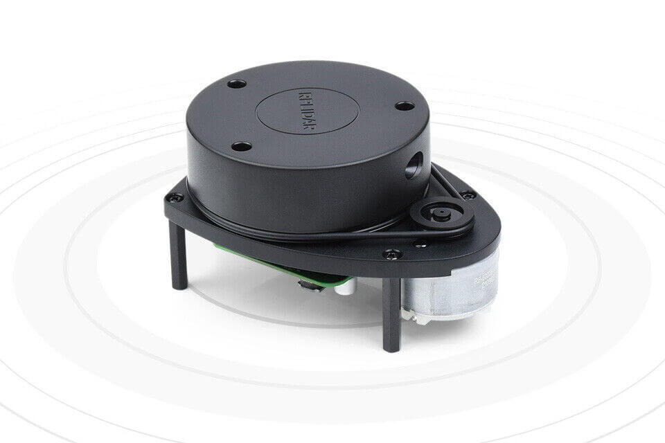
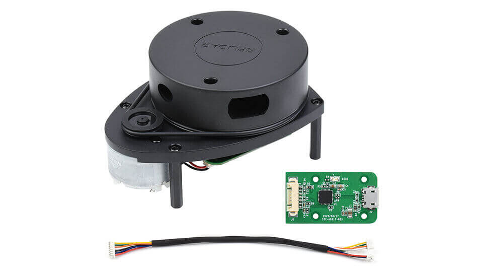
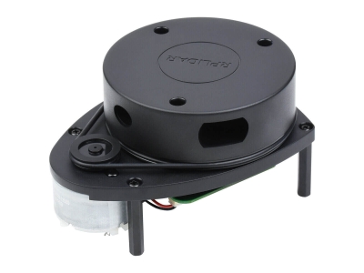
RPLIDAR A1 is essentially a laser range measurement system. It can work perfectly in various indoor and outdoor environments that are not directly exposed to sunlight.
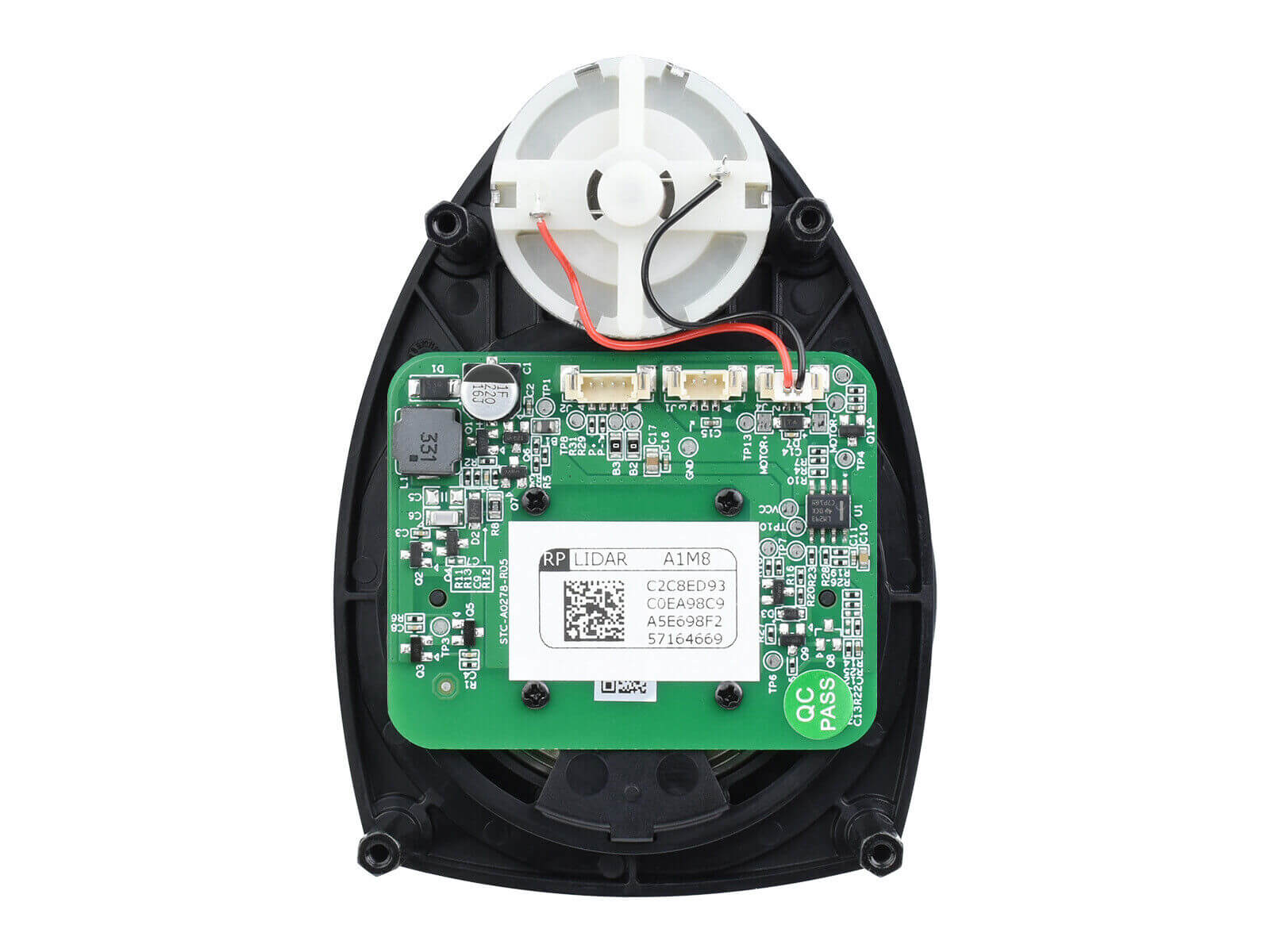
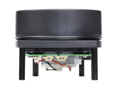
RPLIDAR A1 includes a distance scanning system and a motor system. After each subsystem is powered on, RPLIDAR A1 starts rotating and scanning in a clockwise direction. Users can receive range scan data through the communication interface (Serial port/USB).

Robot Simultaneous Localization and Mapping (SLAM)

Environment Scanning and 3D Reconstruction