
RPLIDAR A1

Share:

1000 TL Above

All Products for Members Only!

Opportunities up to 12 Installments
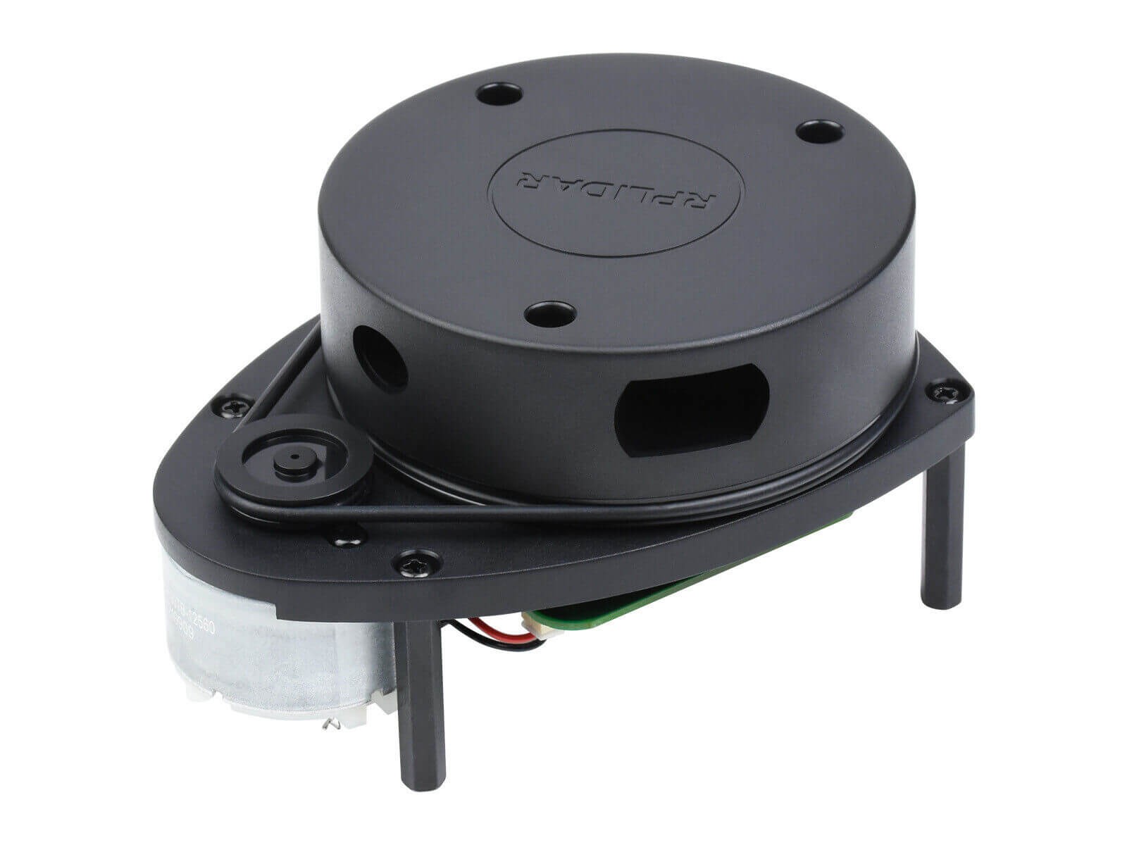
The RPLIDAR A1 can perform a 360-degree scan with a range of 12 meters. The generated 2D point cloud data can be used in mapping, localization, and object/environment modeling. The scanning frequency of RPLIDAR A1 reached 5.5Hz when 1450 points were sampled in each rotation. It can be configured to a maximum of 10Hz.
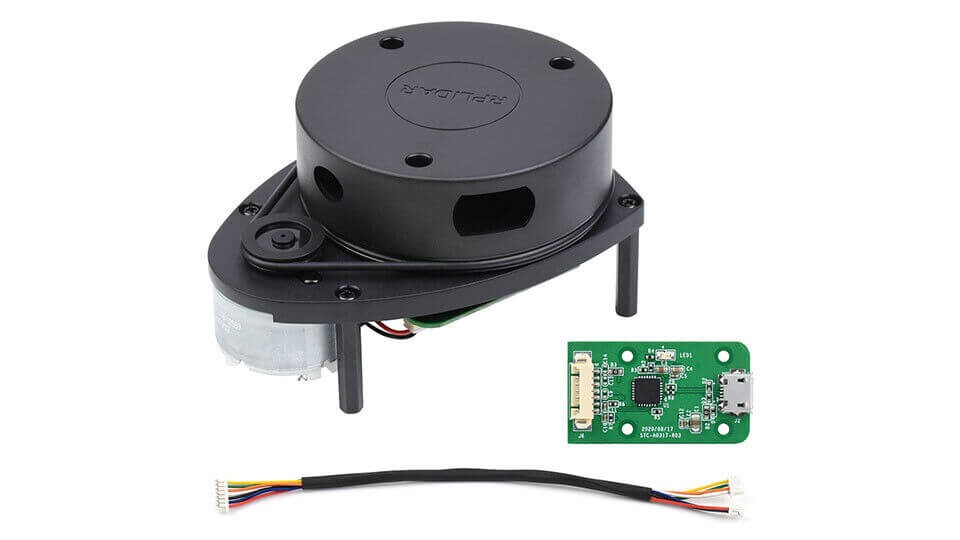
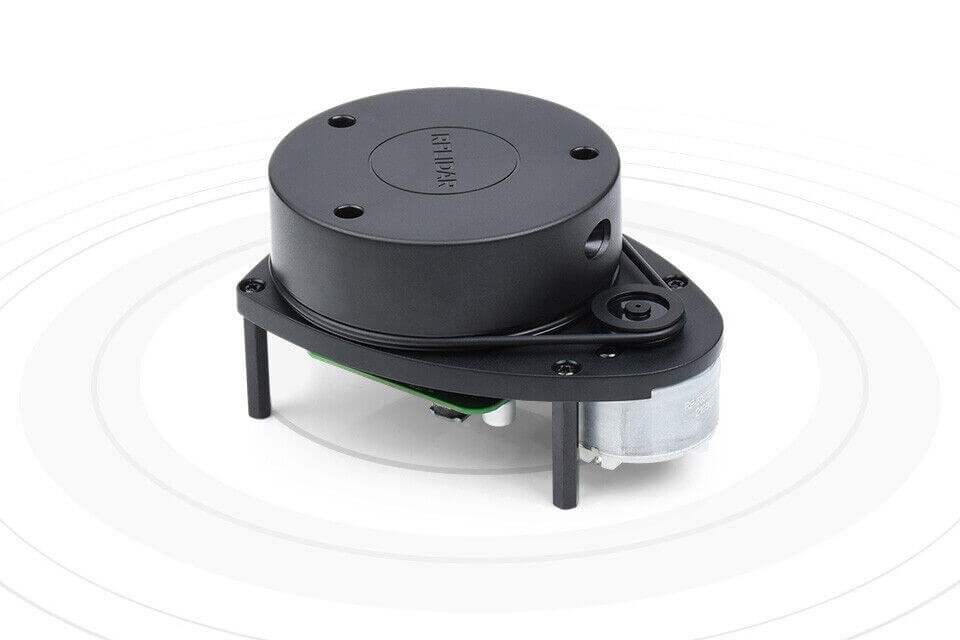
RPLIDAR A1 is essentially a laser range measurement system. It can work perfectly in various indoor and outdoor environments that are not directly exposed to sunlight.
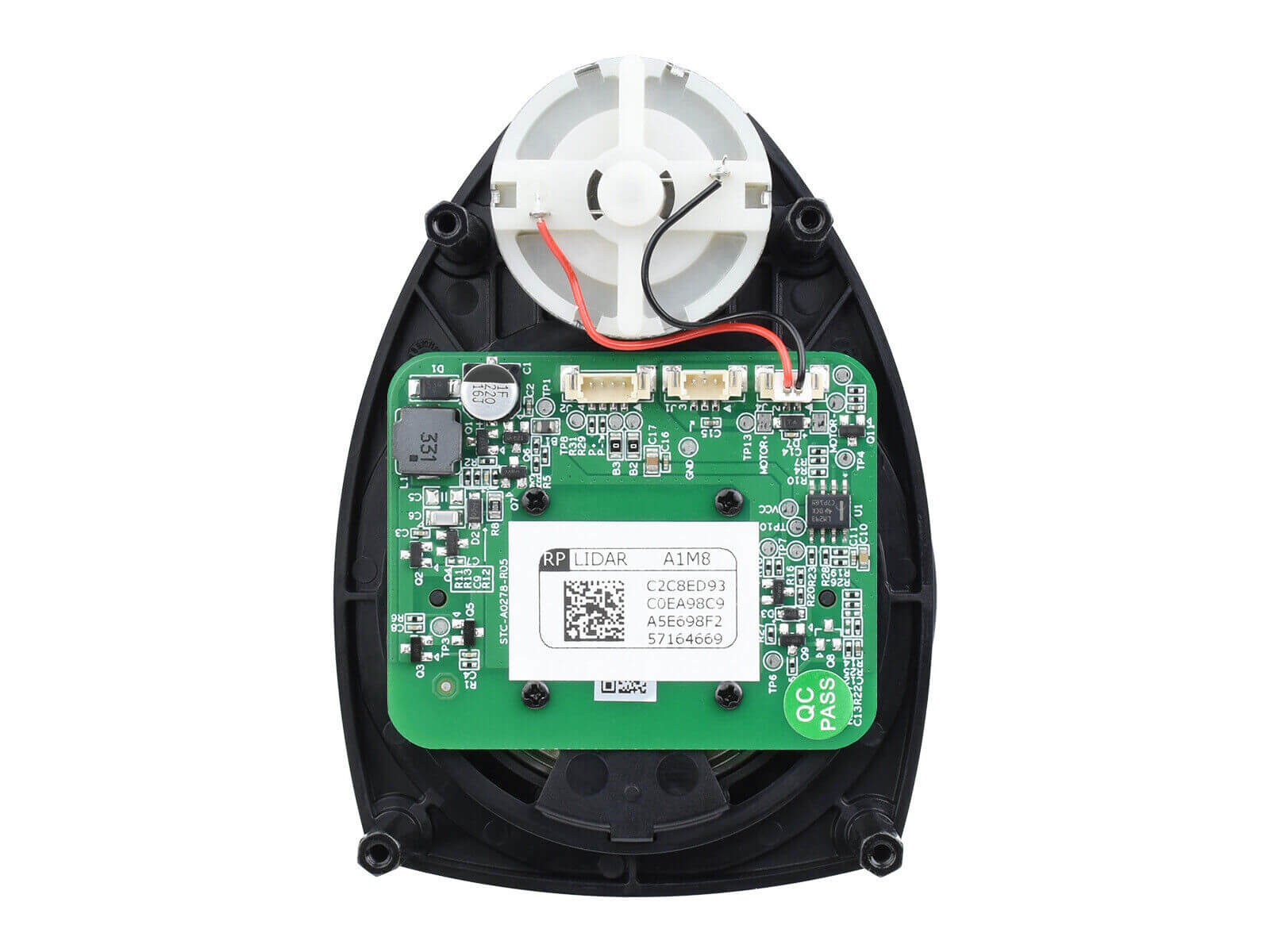
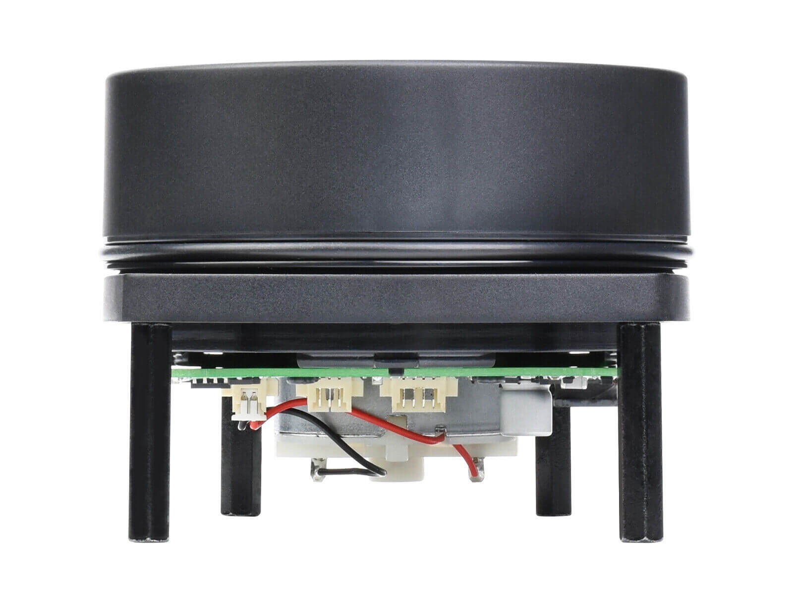
RPLIDAR A1 includes a distance scanning system and a motor system. After each subsystem is powered on, RPLIDAR A1 starts rotating and scanning in a clockwise direction. Users can receive range scan data through the communication interface (Serial port/USB).

Specifications
- Laser ranging principle.
- Supports UART communication.
- Measurement radius is 12m.
- Measurement frequency is 8000Hz.
- 360° scanning range.
- Laser Safety Class 1 Standards Compliant.
- You can click here for resources..
Specifications
- Typical Range 0.15~12m
- Sampling Frequency 8000Hz
- Scanning Rate 5.5Hz
- Angular Resolution ≤1°
- Mechanical Dimensions 96.870.355mm
- Communication Interface UART @ 115200bps
- Power 5V
- Operating Current 100mA
- Power Consumption 0.5W
- Operating Temperature Range 0℃~40℃
- Scanning Range 360°
- Range Accuracy 1% of the actual distance (≤3m); 2% of the actual distance (3-5m); 2.5% of the actual distance (5-12m)
Applications
Robot Simultaneous Localization and Mapping (SLAM)

Environment Scanning and 3D Reconstruction
